
Peddars Way & Norfolk Coast Path
Peddars Way & Norfolk Coast Path
Map
Couldn't load pickup availability
Join our rewards scheme and earn 45 reward points on this purchase!
Earn 45 points on this!
Sign in or Sign up!- Release Date: 19/03/2020
- Barcode: 9781851376292
- Genre: Non-Fiction
- Sub-Genre: Sports & Hobbies
Peddars Way & Norfolk Coast Path
Couldn't load pickup availability
Collapsible content
DESCRIPTION
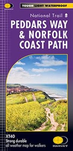
Trail Map XT40 Peddars Way (74 km) and Norfolk Coast Path (134 km) together are one of 16 National Trails in England and Wales. Entire route on one sheet in easy to follow panel format. Lightweight, clear and easy to read. Printed on tough 100% waterproof, tearproof paper.
Entire route on one map
Peddars Way (74km) and Norfolk Coast Path (134km) together are one of 16 National Trails in England and Wales. Peddars Way runs from Knettishall Heath Country Park to Holme-next-the-sea and Norfolk Coast Path hugs the coastline from Hunstanton to Hopton-on-Sea, passing through the Norfolk Coast AONB. As a moderate long distance walk, this is considered to be one of the most accessible National Trails.
The map shows the entire route from St Dogmaels to Amroth.
Tough, light, durable and 100% waterproof
Includes Rights of Way
Route clearly marked
DELIVERY & RETURNS
UK Delivery:
- Free delivery on all orders of £10 or more.
- £1.49 delivery fee on orders below £10.
- UK orders are shipped via Royal Mail 2nd Class.
International Delivery:
- Flat rate delivery charges vary by country.
Dispatch and Delivery Times:
- All orders are shipped from our warehouse in Northampton, UK within 48 hours of receipt during working hours.
- UK mainland orders typically arrive within 3-5 working days via Royal Mail 2nd Class.
- International estimated delivery times:
- Europe & Channel Islands: 7 to 10 working days
- USA: 7 to 15 working days
- Rest of the World: 9 to 21 working days
View our full delivery infomation here.
-
OVER
2 MILLION PRODUCTS
-
60 MILLION CUSTOMERS
ACROSS 190 COUNTRIES
You might also like
Loading recommendations...