


Western Balkans, road atlas 1:150,000
Western Balkans, road atlas 1:150,000
Serbia, Bosnia & Herzegovina, Montenegro, Albania, North Macedonia
Paperback
Couldn't load pickup availability
Join our rewards scheme and earn reward points on this purchase!
Earn points on this!
Sign in or Sign up!- Release Date: 01/02/2025
- Barcode: 9783707922899
- Genre: Science Nature & Math
- Sub-Genre: Atlases & Maps
- Publisher: Freytag-Berndt


Western Balkans, road atlas 1:150,000
Standard Edition
Couldn't load pickup availability
Collapsible content
DESCRIPTION
Serbia, Bosnia & Herzegovina, Montenegro, Albania, North Macedonia
The Western Balkans road atlas 1:150,000 is the ideal companion for anyone who travels by car and does not want to use only the main roads and motorways. It is ideal for planning and also proves to be an indispensable orientation aid during the trip.
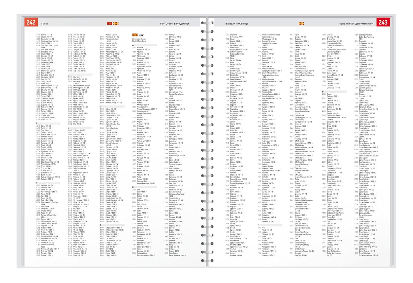
The Western Balkans road atlas 1:150,000 is the ideal companion for anyone who travels by car and does not want to use only the main roads and motorways. It is ideal for planning and also proves to be an indispensable orientation aid during the trip. The detailed map image and the precise scale also allow you to discover less busy side roads that are usually not shown on overview maps. Scenic routes are highlighted in color. Excellent map details and additional information Serbia - Bosnia and Herzegovina - Montenegro - Albania - Kosovo - North Macedonia 1:150,000 Planning map Balkan 1:1,000,000 and Europe 1:3,500,000 spiral binding concealed Camping and pitches, tourist information Eight city maps, including Sarajevo, Tirana and Belgrade place register with postal codes 320 pages, format 23 x 29.7 cm The ideal road atlas for the Western Balkans The dense road network is precisely depicted, scenic stretches and tourist routes are highlighted in color and many excursion destinations are marked on the map. Car and motorcycle drivers particularly appreciate the precise cartography from freytag & berndt for planning and orientation on site. To ensure that the trip can also be planned well with a motorhome, caravan or camper, all camping and parking spaces are marked in the atlas. User-friendly equipment Practical spiral binding: Allows easy browsing and keeps the desired page open ? ideal for on the go. 320 pages in a generous format (23 x 29.7 cm): Easy to read and clear presentation. Printed in Austria
DELIVERY & RETURNS
UK Delivery:
- Free delivery on all orders of £10 or more.
- £1.49 delivery fee on orders below £10.
- UK orders are shipped via Royal Mail 2nd Class.
International Delivery:
- Flat rate delivery charges vary by country.
Dispatch and Delivery Times:
- All orders are shipped from our warehouse in Northampton, UK within 48 hours of receipt during working hours.
- UK mainland orders typically arrive within 3-5 working days via Royal Mail 2nd Class.
- International estimated delivery times:
- Europe & Channel Islands: 7 to 10 working days
- USA: 7 to 15 working days
- Rest of the World: 9 to 21 working days
View our full delivery infomation here.
-
OVER
2 MILLION PRODUCTS
-
60 MILLION CUSTOMERS
ACROSS 190 COUNTRIES
You might also like
Loading recommendations...