
World War I Illustrated Atlas
World War I Illustrated Atlas
Hardback
Couldn't load pickup availability
Join our rewards scheme and earn reward points on this purchase!
Earn points on this!
Sign in or Sign up!- Release Date: 14/10/2023
- Barcode: 9781838863548
- Genre: Non-Fiction
- Sub-Genre: Atlases and Maps
- Imprint: Amber Books

World War I Illustrated Atlas
Couldn't load pickup availability
Collapsible content
DESCRIPTION
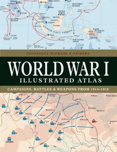
WWI was a complex conflict: an air war, a land war fought in the Balkans, NW Europe, Italy, Africa, Turkey and the Middle East, and a naval war in the North Sea, South Atlantic, South Pacific and Indian Oceans. Including over 180 detailed maps, World War I Illustrated Atlas is an invaluable reference guide to this global war. World War I might conjure up images of the trenches of the Western Front where the fighting raged for nearly four and half years, but this was only part of what was truly a world war. It was a complex conflict fought in a number of theatres: an air war, a land war fought in the Balkans, Italy, Africa, Turkey and the Middle East, and also a naval war fought in the North Sea, South Atlantic, South Pacific and Indian Oceans. The ‘Great War’ introduced killing on an unprecedented scale and resulted in the loss of millions of lives.
World War I Illustrated Atlas is a comprehensive visual guide to this complex conflict. In fine detail, it plots the exact course of the land, sea and air campaigns, enabling the reader to trace the ebb and flow of the fortunes of all sides. With more than 180 full-colour maps, every theatre of war is covered – from the Western Front to Penang, from Gallipoli to Galicia, from Dogger Bank to Dalmatia, from Romania to Rhodesia and from the Falklands to Togo and the Sinai desert.
All the maps have been specially commissioned from an expert cartographer. Each map is designed to highlight a particular aspect of the war – thus maps vary in shape and size, with some giving a global perspective while others depict the exact movement of armed forces on land, sea or in the air. Battles such as Jutland, the Somme, Cambrai and the Gallipoli campaign are shown in great detail. All maps are accompanied by an explanatory key.
With expert, accessible text and accompanying archival photographs, this complete atlas provides an invaluable work of reference for both the general reader and the serious student of World War I.
DELIVERY & RETURNS
UK Delivery:
- Free delivery on all orders of £10 or more.
- £1.49 delivery fee on orders below £10.
- UK orders are shipped via Royal Mail 2nd Class.
International Delivery:
- Flat rate delivery charges vary by country.
Dispatch and Delivery Times:
- All orders are shipped from our warehouse in Northampton, UK within 48 hours of receipt during working hours.
- UK mainland orders typically arrive within 3-5 working days via Royal Mail 2nd Class.
- International estimated delivery times:
- Europe & Channel Islands: 7 to 10 working days
- USA: 7 to 15 working days
- Rest of the World: 9 to 21 working days
View our full delivery infomation here.
-
OVER
2 MILLION PRODUCTS
-
60 MILLION CUSTOMERS
ACROSS 190 COUNTRIES
You might also like
Loading recommendations...