
Walking the King Charles III England Coast Path: North West - Lancashire and Merseyside Map Booklet
Walking the King Charles III England Coast Path: North West - Lancashire and Merseyside Map Booklet
1:25,000 OS Route Map Booklet
Paperback
Couldn't load pickup availability
Join our rewards scheme and earn reward points on this purchase!
Earn points on this!
Sign in or Sign up!- Release Date: 12/09/2025
- Barcode: 9781786310415
- Genre: Non-Fiction
- Sub-Genre: Sports & Hobbies

Walking the King Charles III England Coast Path: North West - Lancashire and Merseyside Map Booklet
Couldn't load pickup availability
Collapsible content
DESCRIPTION
1:25,000 OS Route Map Booklet Covering a spectacular stretch of England’s newest National Trail, the King Charles III England Coast Path (KCIII ECP) winds its way along the dramatic shores of Lancashire and Merseyside. This evolving long-distance route showcases sweeping sandy beaches, estuary views, wildlife-rich saltmarshes and vibrant coastal towns, offering walkers a unique blend of natural beauty, heritage and ever-changing sea vistas. The North West Lancashire and Merseyside Map Booklet is an essential navigation companion for anyone exploring this section of the trail. Compact yet highly detailed, it presents the full route on high-quality Ordnance Survey 1:25,000 mapping, ensuring accurate, easy-to-follow guidance whether you’re planning a multi-day adventure or enjoying shorter coastal walks. A full Cicerone guidebook to the route is also available, offering detailed route descriptions and planning advice. You can also complete your North West collection with the Cumbria Map Booklet, sold separately. This inspiring stretch of coastline offers everything from windswept dunes and nature reserves to historic seaside resorts and bustling waterfronts. With the King Charles III England Coast Path Map Booklet – Lancashire and Merseyside in hand, you can explore with confidence and discover hidden corners of England’s north-west coast.
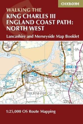
Map of the southern section of the 590km (367 mile) England Coast Path: North West National Trail. Covers the trail between Arnside and the Welsh border along the Lancashire and Merseyside coastline. This compact booklet of OS 1:25,000 maps shows the route, providing all of the mapping you need to walk the trail in either direction.
DELIVERY & RETURNS
UK Delivery:
- Free delivery on all orders of £10 or more.
- £1.49 delivery fee on orders below £10.
- UK orders are shipped via Royal Mail 2nd Class.
International Delivery:
- Flat rate delivery charges vary by country.
Dispatch and Delivery Times:
- All orders are shipped from our warehouse in Northampton, UK within 48 hours of receipt during working hours.
- UK mainland orders typically arrive within 3-5 working days via Royal Mail 2nd Class.
- International estimated delivery times:
- Europe & Channel Islands: 7 to 10 working days
- USA: 7 to 15 working days
- Rest of the World: 9 to 21 working days
View our full delivery infomation here.
-
OVER
2 MILLION PRODUCTS
-
60 MILLION CUSTOMERS
ACROSS 190 COUNTRIES
You might also like
Loading recommendations...