

Crystal Basin, Silver Fork Map (Eldorado National Forest)
Crystal Basin, Silver Fork Map (Eldorado National Forest)
Trails Illustrated Maps
Map
Couldn't load pickup availability
Join our rewards scheme and earn reward points on this purchase!
Earn points on this!
Sign in or Sign up!- Release Date: 01/01/2020
- Barcode: 9781566952644
- Genre: Science Nature & Math
- Sub-Genre: Atlases & Maps
- Imprint: National Geographic
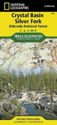

Crystal Basin, Silver Fork Map (Eldorado National Forest)
Standard Edition
Couldn't load pickup availability
Collapsible content
DESCRIPTION
Trails Illustrated Maps
• Waterproof • Tear-Resistant • Topographic MapNational Geographic's Trails Illustrated map of Crystal Basin and Silver Fork covers the Eldorado National Forest, from its northern boundary with Tahoe National Forest to its southern boundary with Stanislaus National Forest. The map provides both unmatched detail and valuable information for outdoor enthusiasts exploring this part of California's Sierra Nevada. Expertly researched and created in partnership with the U.S. Forest Service and others, this map features key points of interest including Mokelumne and Desolation Wildernesses, Hell Hole and Union Valley Reservoirs, Silver Lake and Kirkwood Ski Area. An informative summary of each wilderness area, safety tips, including a special section on bear safety tips, recreation tips and agency contact information are included as well.The area's many trails are clearly marked and color coded according to their designated usage, whether you're exploring on foot, horseback, bike, or motorized vehicle. Trail mileage between intersections along with contour lines and elevations will help you choose the path that's right for you. The Pony Express National Historic Trail that bisects the area is highlighted along with the California National Historic Trail, Pacific Crest Trail and Rubicon OHV Trail. Carson Pass Scenic Byways is noted for those wishing to take in the scenery by car. The area is full of water and land recreation areas all of which are highlighted on the map. Some of the many recreation features include: snowmobile trails, ski areas, sno-parks, fishing and boat access, campgrounds and RV camping, scenic viewpoints and wildlife viewing areas. Every Trails Illustrated map is printed on 'Backcountry Tough' waterproof, tear-resistant paper. A full UTM grid is printed on the map to aid with GPS navigation.Other features found on this map include: Desolation Wilderness, Eldorado National Forest, Mokelumne Wilderness, Mosquito Ridge, Stanislaus National Forest, Tahoe National Forest, Union Valley Reservoir.
DELIVERY & RETURNS
UK Delivery:
- Free delivery on all orders of £10 or more.
- £1.49 delivery fee on orders below £10.
- UK orders are shipped via Royal Mail 2nd Class.
International Delivery:
- Flat rate delivery charges vary by country.
Dispatch and Delivery Times:
- All orders are shipped from our warehouse in Northampton, UK as soon as stock is available.
- UK mainland orders typically arrive within 3-7 working days via Royal Mail 2nd Class.
- International estimated delivery times:
- Europe & Channel Islands: 7 to 10 working days
- USA: 7 to 15 working days
- Rest of the World: 9 to 30 working days
View our full delivery infomation here.
-
OVER
2 MILLION PRODUCTS
-
60 MILLION CUSTOMERS
ACROSS 190 COUNTRIES
You might also like
Loading recommendations...