
Lewis and Clark Trail Maps
Lewis and Clark Trail Maps
Hardback
Couldn't load pickup availability
Join our rewards scheme and earn reward points on this purchase!
Earn points on this!
Sign in or Sign up!- Release Date: 13/09/2000
- Barcode: 9780874222326
- Genre: Science Nature & Math
- Subgenre: Travel & Transport

Lewis and Clark Trail Maps
Couldn't load pickup availability
Collapsible content
DESCRIPTION
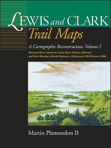
A Cartographic Reconstruction, Volume I: Missouri River Between Camp River Dubois (Illinois) and Fort Mandan (North Dakota) - Outbound 1804; Return 1806 During the 28-month trek (1804-06), Captain William Clark dutifully surveyed the expedition's route by taking continual compass readings to determine directions while estimating distances between geographic points. Clark assumed that his painstakingly recorded "surveyed traverse" would be converted into well-crafted, accurate maps by cartographers soon after the journey's completion. For a variety of reasons, this did not occur--until now. By using measurements, notes, maps, and sketches in Clark's records as well as other sources, Martin Plamondon II has accomplished the cartographic reconstruction that Clark expected upon the expedition's return. Volume I is the first of a three-volume set delineating the Corps' journey. The first volume includes 153 full-page maps of the Missouri River from Illinois to North Dakota. In addition to presenting key geographic and historic features, the maps compare the modern beds of rivers to their courses at the time of the exploration. The contrast is striking between what Lewis and Clark saw and what we see today. The ever meandering Missouri River, in particular, has changed its channel hundreds of times since the men of the expedition fought its currents. Even Clark commented on the return trip in 1806 that some sections fo the river were barely recognizable compared to when they passed by two years earlier. Modern America likewise has wrought great change. Of further interest in Volume I are the many excerpts from the expedition diaries, an insightful essay on frontier surveying, and cartographic indexes. Plamondon's years of careful cartographic reconstruction have resulted in a captivating and never-before-seen record of the American West.
The Lewis and Clark Expedition bicentennial is producing an unprecedented flurry of interest in the United States, and an array of commemorative activities are being planned in the regions visited by the Corps of Discovery.
DELIVERY & RETURNS
UK Delivery:
- Free delivery on all orders of £10 or more.
- £1.49 delivery fee on orders below £10.
- UK orders are shipped via Royal Mail 2nd Class.
International Delivery:
- Flat rate delivery charges vary by country.
Dispatch and Delivery Times:
- All orders are shipped from our warehouse in Northampton, UK within 48 hours of receipt during working hours.
- UK mainland orders typically arrive within 3-5 working days via Royal Mail 2nd Class.
- International estimated delivery times:
- Europe & Channel Islands: 7 to 10 working days
- USA: 7 to 15 working days
- Rest of the World: 9 to 21 working days
View our full delivery infomation here.
-
OVER
2 MILLION PRODUCTS
-
60 MILLION CUSTOMERS
ACROSS 190 COUNTRIES
You might also like
Loading recommendations...