


1
of
5
2026 Collins Road Map of Ireland
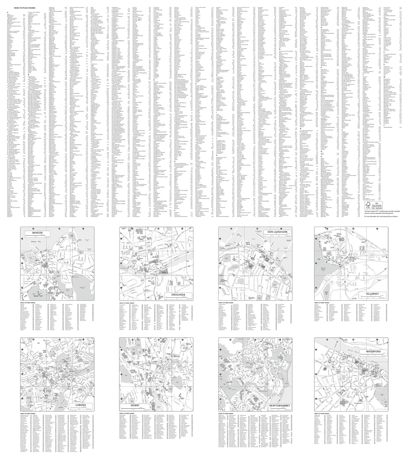
2026 Collins Road Map of Ireland
Clear and Detailed Folded Map of Ireland
Map
Regular price
£9.50
Regular price
Sale price
£9.50
Unit price
/
per
Couldn't load pickup availability
Join our rewards scheme and earn reward points on this purchase!
Earn points on this!
Sign in or Sign up!- Release Date: 13/03/2025
- Barcode: 9780008719241
- Genre: Science Nature & Math
- Sub-Genre: Atlases & Maps
- Imprint: Collins
- Publisher: HarperCollins


2026 Collins Road Map of Ireland
Couldn't load pickup availability
Collapsible content
DESCRIPTION
DELIVERY & RETURNS
UK Delivery:
- Free delivery on all orders of £10 or more.
- £1.49 delivery fee on orders below £10.
- UK orders are shipped via Royal Mail 2nd Class.
International Delivery:
- Flat rate delivery charges vary by country.
Dispatch and Delivery Times:
- All orders are shipped from our warehouse in Northampton, UK within 48 hours of receipt during working hours.
- UK mainland orders typically arrive within 3-5 working days via Royal Mail 2nd Class.
- International estimated delivery times:
- Europe & Channel Islands: 7 to 10 working days
- USA: 7 to 15 working days
- Rest of the World: 9 to 21 working days
View our full delivery infomation here.
-
OVER
2 MILLION PRODUCTS
-
60 MILLION CUSTOMERS
ACROSS 190 COUNTRIES
You might also like
1
/
of
8
Loading recommendations...