
Midlands A-Z Road Atlas
Midlands A-Z Road Atlas
Paperback
Couldn't load pickup availability
Join our rewards scheme and earn reward points on this purchase!
Earn points on this!
Sign in or Sign up!- Release Date: 04/07/2024
- Barcode: 9780008652838
- Genre: Science Nature & Math
- Sub-Genre: Earth Sciences
- Imprint: HarperCollins
- Publisher: HarperCollins

Midlands A-Z Road Atlas
Couldn't load pickup availability
Collapsible content
DESCRIPTION
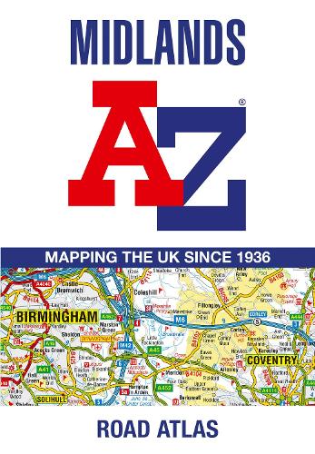
A full-colour, regional road atlas of the Midlands from A-Z Maps, featuring 46 pages of continuous road mapping. Road map detail is shown at a clear 2.5 miles to 1 inch scale (1.58 km to 1 cm) and includes the following features: The index section lists cities, towns, villages, hamlets and locations covered by the road mapping.
A full-colour, regional road atlas of the Midlands from A-Z Maps, featuring 46 pages of continuous road mapping.
DELIVERY & RETURNS
UK Delivery:
- Free delivery on all orders of £10 or more.
- £1.49 delivery fee on orders below £10.
- UK orders are shipped via Royal Mail 2nd Class.
International Delivery:
- Flat rate delivery charges vary by country.
Dispatch and Delivery Times:
- All orders are shipped from our warehouse in Northampton, UK within 48 hours of receipt during working hours.
- UK mainland orders typically arrive within 3-5 working days via Royal Mail 2nd Class.
- International estimated delivery times:
- Europe & Channel Islands: 7 to 10 working days
- USA: 7 to 15 working days
- Rest of the World: 9 to 21 working days
View our full delivery infomation here.
-
OVER
2 MILLION PRODUCTS
-
60 MILLION CUSTOMERS
ACROSS 190 COUNTRIES
You might also like
Loading recommendations...