
Pennine Way National Trail Map
Pennine Way National Trail Map
Map
Couldn't load pickup availability
Join our rewards scheme and earn reward points on this purchase!
Earn points on this!
Sign in or Sign up!- Release Date: 16/02/2023
- Barcode: 9780008602956
- Genre: Travel & Transport
- Subgenre: Atlases & Maps
Pennine Way National Trail Map
Couldn't load pickup availability
Collapsible content
DESCRIPTION
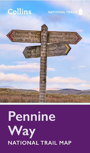
Perfect guide and map for planning your adventure along the iconic Pennine Way. Perfect guide and map for planning your adventure along the iconic Pennine Way. Highlights of this Planning Map include: The Pennine Way is the oldest of the 16 National Trails and runs along The Pennines, linking the Peak District National Park with the Cheviot Hills. Starting in Edale, Derbyshire, the walk covers 268 miles (431 km) and passes through the Yorkshire Dales to finish in Kirk Yetholm, just inside the Scottish Borders. A suggested walking itinerary makes it easy for users to plan their journey along this popular route.
DELIVERY & RETURNS
UK Delivery:
- Free delivery on all orders of £10 or more.
- £1.49 delivery fee on orders below £10.
- UK orders are shipped via Royal Mail 2nd Class.
International Delivery:
- Flat rate delivery charges vary by country.
Dispatch and Delivery Times:
- All orders are shipped from our warehouse in Northampton, UK within 48 hours of receipt during working hours.
- UK mainland orders typically arrive within 3-5 working days via Royal Mail 2nd Class.
- International estimated delivery times:
- Europe & Channel Islands: 7 to 10 working days
- USA: 7 to 15 working days
- Rest of the World: 9 to 21 working days
View our full delivery infomation here.
-
OVER
2 MILLION PRODUCTS
-
60 MILLION CUSTOMERS
ACROSS 190 COUNTRIES
You might also like
Loading recommendations...