
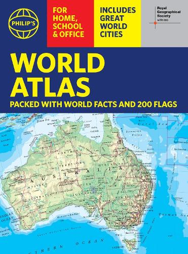
Philip's RGS World Atlas (A4)
Philip's RGS World Atlas (A4)
with Global Cities, Facts and Flags
Paperback
Couldn't load pickup availability
Join our rewards scheme and earn reward points on this purchase!
Earn points on this!
Sign in or Sign up!- Release Date: 03/07/2025
- Barcode: 9781849077231
- Genre: Science Nature & Math
- Sub-Genre: Atlases and Maps
- Publisher: Octopus Publishing

Philip's RGS World Atlas (A4)
Couldn't load pickup availability
Collapsible content
DESCRIPTION
with Global Cities, Facts and Flags Thousands of global facts at your fingertips with the best value quick-reference World Atlas on the market, now fully updated. Both physical and political geography is clearly illustrated alongside the great cities of our planet.
Thousands of global facts at your fingertips with the best value quick-reference World Atlas on the market, now fully updated. Both physical and political geography is clearly illustrated alongside the great cities of our planet.
The highest peak? The deepest ocean trench? The wettest, driest, longest, largest - we list the world's fascinating extremes. Crammed with practical information like a Distance Chart for World Cities, World Time Zones, 200 State Flags and the top 100 most populous countries, we include around 15,000 places indexed for easy checking. Whether for the pub quiz, travel planning or school reference, this great value handy world atlas is crammed with everything you need to know.
Alongside the topography and physical attributes of the earth we also show political boundaries and the great global cities, including transport hubs and places of interest from mosques to temples, palaces to zoos and shopping centres to tourist information centres.
For this new edition, the maps have been fully updated to show the newly inaugurated capital of Indonesia, the new name for Kazakhstan's capital, renamed provinces in India, city name changes in Ukraine and much more. The physical and political statistics are the most recent available.
Features include:
* 200 Flags of the world's major states and territories
* 21 City centre maps: transport (road, rail, trams, light railways, bus and railway stations) and places of interest including religious buildings (churches, abbeys, cathedrals, synagogues, shrines, temples, mosques), museums, galleries, theatres, palaces, castles, parks, gardens, zoos, shopping centres, hospitals, Tourist Centres.
* World city distance table
* World time zones map
* Country comparisons table - the population and areas of the world's top 100 most populous countries
* Physical comparisons- largest oceans, longest rivers, biggest islands, highest peaks, deepest trenches.
* Continental Comparator - for each one we show area, coldest place, hottest place, wettest place, driest place
* World topographic maps - with coloured contour layers and hill-shading clearly outlining the Earth's surface.
* World political maps - the latest boundary and geopolitical changes.
* Index of approx. 15,000 place-names - with geographical features like mountains, lakes and deserts, as well as towns.
DELIVERY & RETURNS
UK Delivery:
- Free delivery on all orders of £10 or more.
- £1.49 delivery fee on orders below £10.
- UK orders are shipped via Royal Mail 2nd Class.
International Delivery:
- Flat rate delivery charges vary by country.
Dispatch and Delivery Times:
- All orders are shipped from our warehouse in Northampton, UK within 48 hours of receipt during working hours.
- UK mainland orders typically arrive within 3-5 working days via Royal Mail 2nd Class.
- International estimated delivery times:
- Europe & Channel Islands: 7 to 10 working days
- USA: 7 to 15 working days
- Rest of the World: 9 to 21 working days
View our full delivery infomation here.
-
OVER
2 MILLION PRODUCTS
-
60 MILLION CUSTOMERS
ACROSS 190 COUNTRIES
You might also like
Loading recommendations...