
Thames Path
Thames Path
Map
Couldn't load pickup availability
Join our rewards scheme and earn reward points on this purchase!
Earn points on this!
Sign in or Sign up!- Release Date: 30/05/2017
- Barcode: 9781851375127
- Genre: Science Nature & Math
- Sub-Genre: Atlases & Maps
Thames Path
Couldn't load pickup availability
Collapsible content
DESCRIPTION
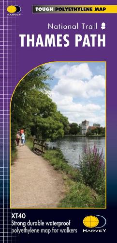
The Thames Path follows the banks of the river for 184 miles (294km) from the flood barrier at Woolwich in South East London to Kemble Gloucestershire.
The Thames Path follows the banks of the river for 184 miles (294km) from the flood barrier at Woolwich in South East London to Kemble Gloucestershire. It is a long distance walking route, most of it cannot be cycled. The Trail passes through water meadows, historic towns and lovely villages. The path is flat which makes for easy walking. Jos Joslin National Trails Manager (Marketing & Projects) said of this map, Really beneficial to have the whole length of the Thames Path upstream of London on just one map. Clear mapping and useful information makes this this a very practical map. This map is printed on 100% waterproof paper which is light, durable and tearproof.
DELIVERY & RETURNS
UK Delivery:
- Free delivery on all orders of £10 or more.
- £1.49 delivery fee on orders below £10.
- UK orders are shipped via Royal Mail 2nd Class.
International Delivery:
- Flat rate delivery charges vary by country.
Dispatch and Delivery Times:
- All orders are shipped from our warehouse in Northampton, UK within 48 hours of receipt during working hours.
- UK mainland orders typically arrive within 3-5 working days via Royal Mail 2nd Class.
- International estimated delivery times:
- Europe & Channel Islands: 7 to 10 working days
- USA: 7 to 15 working days
- Rest of the World: 9 to 21 working days
View our full delivery infomation here.
-
OVER
2 MILLION PRODUCTS
-
60 MILLION CUSTOMERS
ACROSS 190 COUNTRIES
You might also like
Loading recommendations...