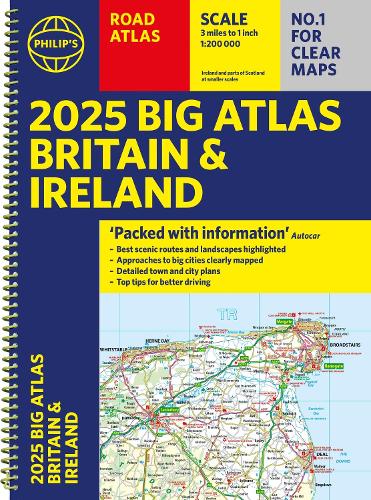
2025 Philip's Big Road Atlas of Britain & Ireland

2025 Philip's Big Road Atlas of Britain & Ireland
2025 Philip's Big Road Atlas of Britain & Ireland
(A3 Spiral Binding)
Spiral Bound
Couldn't load pickup availability
Join our rewards scheme and earn reward points on this purchase!
Earn points on this!
Sign in or Sign up!- Release Date: 06/06/2024
- Barcode: 9781849076647
- Genre: Science Nature & Math
- Sub-Genre: Atlases & Maps
- Publisher: Octopus Publishing

2025 Philip's Big Road Atlas of Britain & Ireland
Couldn't load pickup availability
Collapsible content
DESCRIPTION
(A3 Spiral Binding) 'Good balance between detail and clarity with excellent town maps' What Car?
The latest supersize A3 2025 Philip's Big Road Atlas of Britain and Ireland has a special lie-flat spiral binding and fully updated mapping from the Philip's digital database. The super-clear maps have been voted Britain's clearest and most detailed in an independent consumer survey.
PHILIP'S is No. 1 in the UK for clear maps. The latest 2025 Philip's Big Road Atlas of Britain and Ireland, in a supersize large format, has fully updated mapping from the Philip's digital database alongside all the detail and information needed for successful travel.
* Top driving tips for safety and skill including how to parallel park
* The best scenic routes, natural features and landscape highlighted for enhanced travelling
* Practical 'more to view per page' A3 size
* Main scale of maps: 3 miles to 1 inch = 1:200,000 for ease of use
* Route-planning section for the easiest navigation
* Special wide-vehicle access indicators for rural areas
* 64 fully indexed and detailed town and city plans
* City approach maps with named roads for the best access with the latest ULEZ clearly outlined
* Clear road map showing all of Ireland
2025 Philip's Big Road Atlas of Britain and Ireland contains 96 pages of road maps covering Britain at 3 miles to 1 inch (Scottish Highlands and Western Isles at 4 miles to 1 inch, Orkney and Shetland at 5.25 miles to 1 inch). The maps clearly mark service areas, roundabouts and multi-level junctions for easy navigation, and in rural areas distinguish between roads over and under 4 metres wide, to help wide vehicles. There are extra-detailed town plans for easy navigation with all counties marked for clarity. The atlas also includes a 2-page road map of Ireland, route-planning maps, a distance table, and 12 large-scale city approach maps with named arterial roads.
Wherever you are driving in Britain or Ireland, this is the ultimate road companion.
DELIVERY & RETURNS
UK Delivery:
- Free delivery on all orders of £10 or more.
- £1.49 delivery fee on orders below £10.
- UK orders are shipped via Royal Mail 2nd Class.
International Delivery:
- Flat rate delivery charges vary by country.
Dispatch and Delivery Times:
- All orders are shipped from our warehouse in Northampton, UK within 48 hours of receipt during working hours.
- UK mainland orders typically arrive within 3-5 working days via Royal Mail 2nd Class.
- International estimated delivery times:
- Europe & Channel Islands: 7 to 10 working days
- USA: 7 to 15 working days
- Rest of the World: 9 to 21 working days
View our full delivery infomation here.
-
OVER
2 MILLION PRODUCTS
-
60 MILLION CUSTOMERS
ACROSS 190 COUNTRIES
You might also like
Loading recommendations...