
Telluride Map (Local Trails)
Telluride Map (Local Trails)
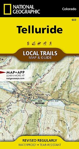
Local Trails
Map
Couldn't load pickup availability
Join our rewards scheme and earn reward points on this purchase!
Earn points on this!
Sign in or Sign up!- Release Date: 27/06/2019
- Barcode: 9781566957625
- Genre: Science Nature & Math
- Sub-Genre: Atlases & Maps
- Imprint: National Geographic
Telluride Map (Local Trails)
Standard Edition
Couldn't load pickup availability
Collapsible content
DESCRIPTION
Local Trails
• Waterproof • Tear-Resistant • Topographic MapTelluride is known for its world-class skiing, cultural events, and natural beauty. Nestled at the end of a box canyon, surrounded by jagged 13,000 and 14,000-foot peaks—this tiny, yet charming, community boasts endless opportunities for outdoor adventures. Dozens of trails, ideal for hiking and mountain biking, are easily accessible from town and allow visitors to explore the forests, fields, and high country of the San Juan Mountains—the longest mountain chain in the Rockies.With so many outdoor recreation options, visitors to Telluride have an enviable problem, where should they start? This map is a combination of a standard trail map on the front with a helpful guide on the back that has a selection of recommended hikes, from the moderate 1.6 mile Ridge Trail to the strenuous 2,900 foot climb up to Liberty Bell Basin. Each selected trail includes a brief description, specs such as elevation gain and length as well as a detailed elevation profile to track your progress up and down the numerous peaks and valleys.Each Local Trails map includes detailed trail maps at 1 inch = 1/2 mile. At this scale every turn of the trail is clearly visible and when covering steep terrain the contours are clearly visible. In addition to the standard features like trailheads and parking areas the maps also show difficulties for each trail segment so you can tell if the entire trail is moderate or if there is only a single short section of difficult on an otherwise easy trail.Every Local Trails map is printed on 'Backcountry Tough' waterproof, tear-resistant paper. A full UTM grid is printed on the map to aid with GPS navigation.
DELIVERY & RETURNS
UK Delivery:
- Free delivery on all orders of £10 or more.
- £1.49 delivery fee on orders below £10.
- UK orders are shipped via Royal Mail 2nd Class.
International Delivery:
- Flat rate delivery charges vary by country.
Dispatch and Delivery Times:
- All orders are shipped from our warehouse in Northampton, UK within 48 hours of receipt during working hours.
- UK mainland orders typically arrive within 3-5 working days via Royal Mail 2nd Class.
- International estimated delivery times:
- Europe & Channel Islands: 7 to 10 working days
- USA: 7 to 15 working days
- Rest of the World: 9 to 21 working days
View our full delivery infomation here.
-
OVER
2 MILLION PRODUCTS
-
60 MILLION CUSTOMERS
ACROSS 190 COUNTRIES
You might also like
Loading recommendations...