
Wasatch Front South Map
Wasatch Front South Map
Trails Illustrated Maps
Map
Couldn't load pickup availability
Join our rewards scheme and earn reward points on this purchase!
Earn points on this!
Sign in or Sign up!- Release Date: 01/01/2020
- Barcode: 9781566954488
- Genre: Science Nature & Math
- Sub-Genre: Atlases & Maps
- Imprint: National Geographic
Wasatch Front South Map
Reprint
Couldn't load pickup availability
Collapsible content
DESCRIPTION
Trails Illustrated Maps
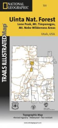
• Waterproof • Tear-Resistant • Topographic MapNational Geographic's Trails Illustrated map of Wasatch Front South is the most comprehensive guide for outdoor enthusiasts enjoying the year-round recreation activities in this region. Expertly researched and created in cooperation with the U.S. Forest Service and others, this map features key points of interest from Goshen and Juab Valleys in the west to Strawberry Ridge and Wasatch Plateau in the east. Coverage includes recreation hotspots Uinta and Manti-La Sal National Forests, Mt. Nebo Wilderness Area, San Pitch Mountains, Joes Valley Reservoir and Lake Canyon Recreation Area.Miles of mapped trails will lead you off the beaten path and back on again, including parts of the Great Western Trail, Arapeen OHV Trails and National Recreation Trails, all shown with mileage markers and labeled for motorized, non-motorized, snowmobile, OHV, ATV, motorcycle or Nordic ski use. Navigate the area using the map's contour lines, elevations, labeled peaks and summits, water features and clear boundaries of public recreation land as well as a complete road network, including numbered Forest Service roads. Camping guides show each campground's location, elevation, amenities, and number of sites. Other recreation features include trailheads, interpretive trails, campgrounds, boat ramps, climbing areas, fishing holes, dump stations and marinas. State and national scenic byways are labeled along with their roadside facilities for those wishing to explore the area by car. Every Trails Illustrated map is printed on 'Backcountry Tough' waterproof, tear-resistant paper. A full UTM grid is printed on the map to aid with GPS navigation.Other features found on this map include: Manti-La Sal National Forest, Mona Reservoir, Mount Nebo Wilderness, Payson, San Pitch Mountains, South Tent Mountain, Spanish Fork Peak, Uinta National Forest, Wasatch Plateau, Wasatch Range.
DELIVERY & RETURNS
UK Delivery:
- Free delivery on all orders of £10 or more.
- £1.49 delivery fee on orders below £10.
- UK orders are shipped via Royal Mail 2nd Class.
International Delivery:
- Flat rate delivery charges vary by country.
Dispatch and Delivery Times:
- All orders are shipped from our warehouse in Northampton, UK within 48 hours of receipt during working hours.
- UK mainland orders typically arrive within 3-5 working days via Royal Mail 2nd Class.
- International estimated delivery times:
- Europe & Channel Islands: 7 to 10 working days
- USA: 7 to 15 working days
- Rest of the World: 9 to 21 working days
View our full delivery infomation here.
-
OVER
2 MILLION PRODUCTS
-
60 MILLION CUSTOMERS
ACROSS 190 COUNTRIES
You might also like
Loading recommendations...